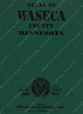
Atlas of Waseca County, Minnesota 1998. Material: paper, metal. Size: 11" x 14". Description: green heavy card stock cover, metal spiral binding; printed on front cover: "Atlas of Waseca County Minnesota". Contents: information and maps of Waseca County including county officials, county map, state map, street and avenue map, watershed, public drainage ditch and ditchshed maps, individual plat maps with owner names for each township: Alton, Blooming Grove, Byron, Freedom, Iosco, Janesville, New Richland, Otisco, St. Mary, Vivian, Wilton and Woodville; list of county small tracts and owners, yellow pages directory of land owners; green pages directory of rural land owners by township; 1937 Standard Atlas plat book reprint; photos of people who own land in Waseca County; family histories of families named Braun, Groskreutz, Hines, Gransee, Joecks, Kroeger, Jensen, Conway, Harguth, Carlson, Ewest, Kaiser, Jahr, Kranz, Lohberger, Krautbauer, Krassin, Lewer, Ruedy, Krienke, Kuhns, Meyer, Remund, Schwictenberg, Rieck, Schoenfeld, Ross, Mulcahey, Priebe,Rudolph, Nelson, Wendt, Schuch, Winegar; other useful medical and measurement information, tables, data and ownership laws and descriptions; blank genealogy and record keeping forms.