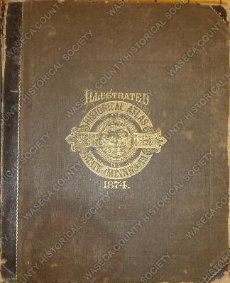
Illustrated Historical Atlas of Minnesota 1874. Material: paper, leather, textile. Size: 14” x 17 ½”. Description: black hard cover with black leather spine, gold front seal of Minnesota and title: “Illustrated Historical Atlas State of Minnesota 1874”; contents: 394 pages of state and county maps and plats, illustrations of residences and buildings, portraits of prominent Waseca County citizens with biographical sketches, histories of Minnesota early settlement, education, railroads, agriculture, churches and manufacturers, population and census statistics 1860 and 1870, advertisers directory; specific Waseca County information includes East Janesville plat, Waseca plat and Wilton plat, drawings of the residences of J.S. Abell, Adam Bishman, C. A. DeGraff stock farm, Rudolph Jacoby, S.S. Phelps, E. B. Sterns and Clear Lake and Waseca Village; portrait drawings of H. P. Packard, James E. Child, S.S. Phelps and C. A. DeGraff; Waseca County history, the grasshopper destruction, the Grange movement with Philo Woodruff, newspaper information of Waseca and the Janesville Argus.