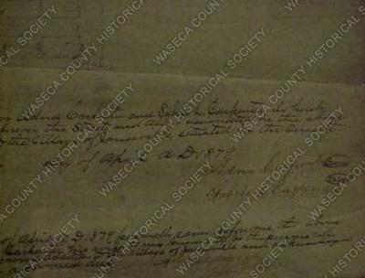
Janesville Village Plat: 1879. Material: paper. Size: 14" W. x 17" L. Description: white paper, black and red Bristol board; encapsulated manuscript plat map of Janesville; "Plat of Carpenters Second Addition to Janesville"; shows streets, blocks, and lots; lots numbered in red; metes and bounds by C.E. Crane, county surveyor. Declarations and certifications signed by J.J. Wilkins, Adna and Sabria Carpenter.