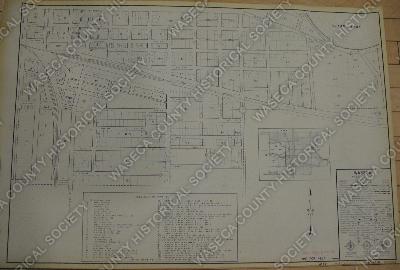
City Waseca South Plat Including Chicago and Northwestern Railroad. C & NW Railroad and Minneapolis and St. Louis Railroad. M & St. L Railroad. Size: 24 3/4" x 36 1/4". Copy of drawing made by the Minnesota Highway Department during the 1930s, updated in 1956. Funded by the Works Progress Administration (WPA). The drawings represent towns in Minnesota which have roads financed and maintained by the Minnesota Department of Transportation. Waseca, MN.